For months now my friend has been trying to get me to go with him to hike Mt. Wilson. He already went twice without me, once I was out of town (or something) and the last time, in January, I had a heel fissure.
On February 24th I agreed to go. My friend showed with his son at about 9:15 and we started out from the little park in Sierra Madre at the base of the trail.
Before I get into my description of the trip, here are two more bubbly descriptions from Pasadena hiker, Joan Bang:
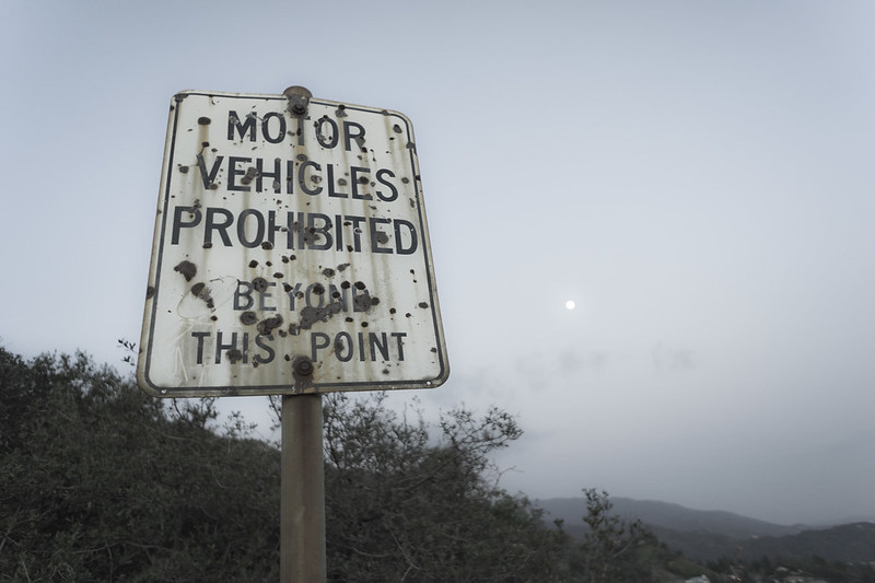
I’m posting these videos in part because I didn’t take any photos on the WAY UP and also because she clearly captures all the sign posts and stopping points that I’ll mention later.
I had looked at the weather report earlier in the week and read about temperatures under 50 degrees at the top, so I dressed warm. I wore a sporty heat wicking (or something) undershirt (yes, the one you bought me a few years ago, mom), another long-sleeve shirt over that and finally a fleece lined jacket and a knit cap. The cafe at the top is closed until April, so I brought with me half a bag of caramel popcorn, a small bag of banana chips, a bag of potato chips, 5 “cutie” oranges, 2 pears, an apple, 2 small bottles of chocolate milk and two plastic 24oz hiking bottles of water. I also packed supplies like hand wipes, napkins, etc. I borrowed my father’s hiking stick and a spare one that Kent had and we set out. Within minutes I started overheating. I took the coat, hat and long-sleeve shirt off and stuffed them into my backpack. A few minutes later I had sweated off all of my sunscreen already. I was huffing and puffing all over with that backpack and we were barely a mile up the mountain.
Looking back on it later, that first stretch wasn’t bad. After about two miles you get to “First Water;” a trail that, if followed, diverges down to a rushing stream and pools of water. We carried on up the hill though. In another mile and a half, after a wooded hike, around 11am we reached the “campground.” The campground is roughly halfway up the seven mile hike. What I didn’t realize was that the next quarter of the trip would be the hardest. Even though the next mile and a half after the campground is through a heavily wooded area, it’s also the most intense and steep of the climb. I spent the entire time hunched over leaning heavily on the walking sticks maneuvering my way up through the rocks like a weird 4 legged insect. We had to stop every fifteen minutes or so and take a breather. The length of time it takes to hike this part is always underestimated, and even though my friend had done this twice already, he did it again. Or maybe we stopped more than he was used to (he wasn’t stupid like me, he hadn’t brought a lot of heavy food).
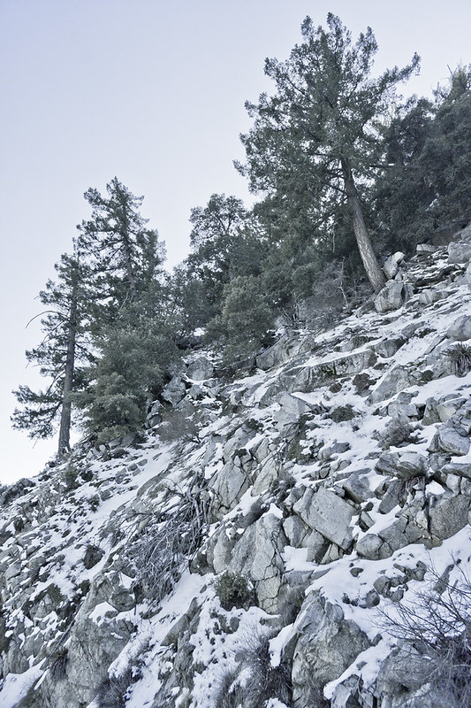
Eventually, after 5 and a half grueling miles we came to a clearing with a large wooden bench. It was there that I stopped and drank my first sip of water since the beginning of the hike and ate the most delicious pear I’ve ever tasted. We were surprised to see we still had a mile and a half to walk to the top. Luckily, half of that hike is a walk up an access road in the shade. It was then that I saw the first snow I’ve seen in real life in quite a while. I don’t think I saw this much snow on the ground the last three times I went to Ohio.
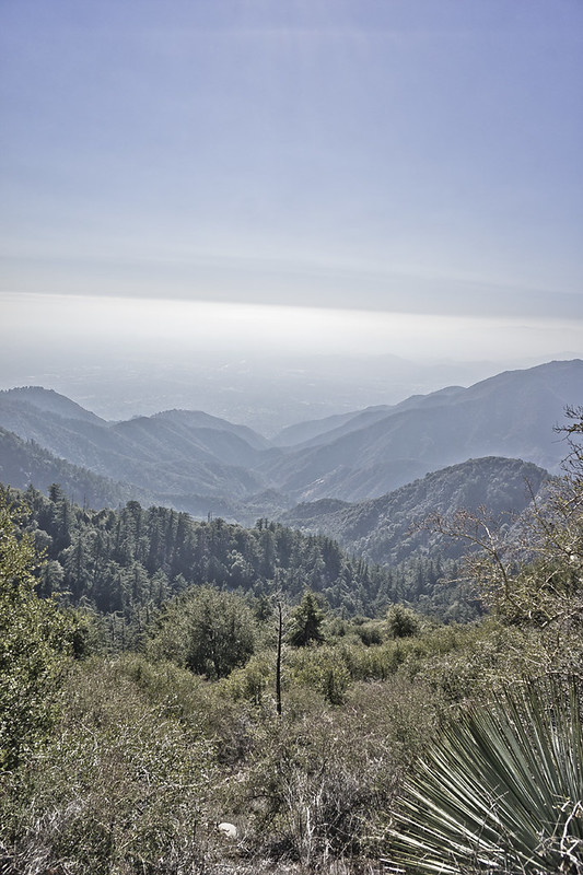
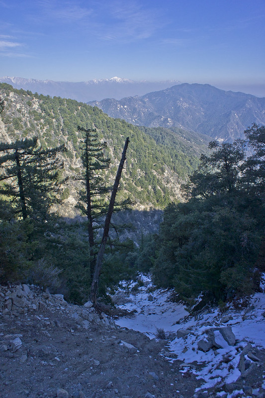
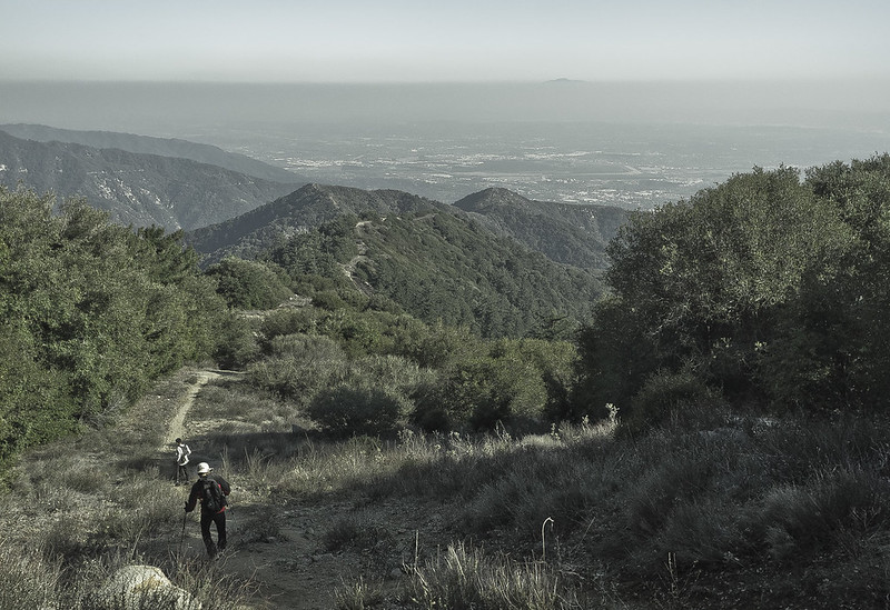
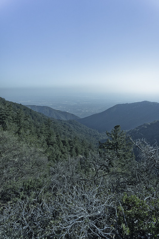
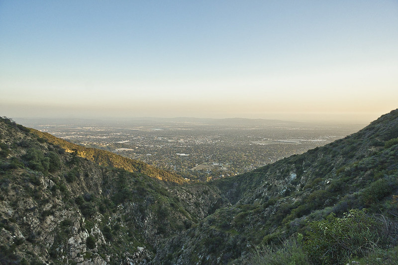
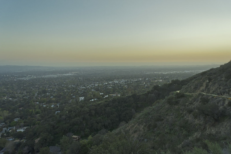
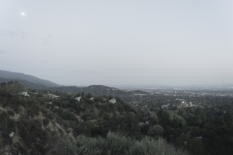
Finally, around 1:30 we reached the observatory parking lot. We plopped down on the large boulders at the edge and ate our supplies. It was then I realized that I’d lugged all of that food and water up the hill needlessly. I couldn’t even finish my apple I was so full. I would only end up drinking one full (24oz) water bottle. After about an hour we started back down. It was then that I could actually enjoy the scenery for the first time and took out my camera. The photo below is taken looking south just in front of the boulders at the edge of the parking lot. It was disappointing to see so much smog hanging in the air after hiking up to the top of the mountain. I’ve heard that on clear days you can see Catalina Island from Mt. Wilson, but on Saturday we could barely see the 210 freeway.
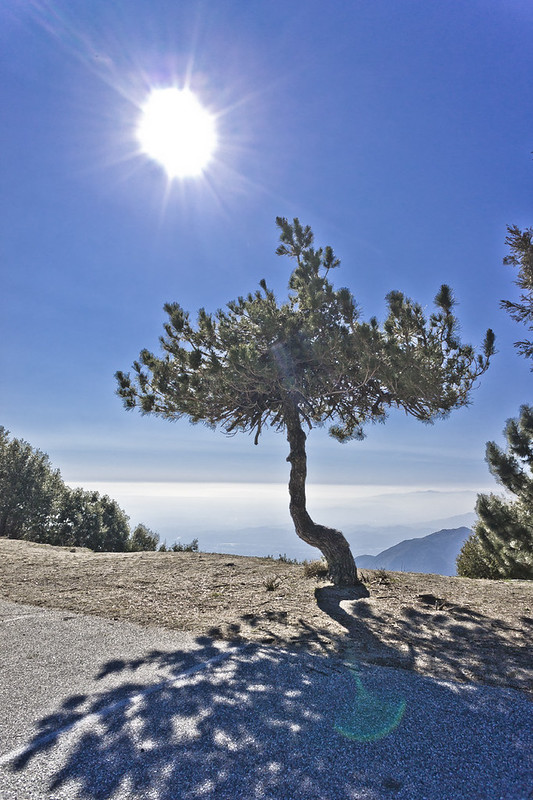
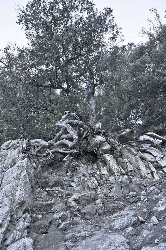
Next to the trail-head is this little groomed tree growing all by itself.
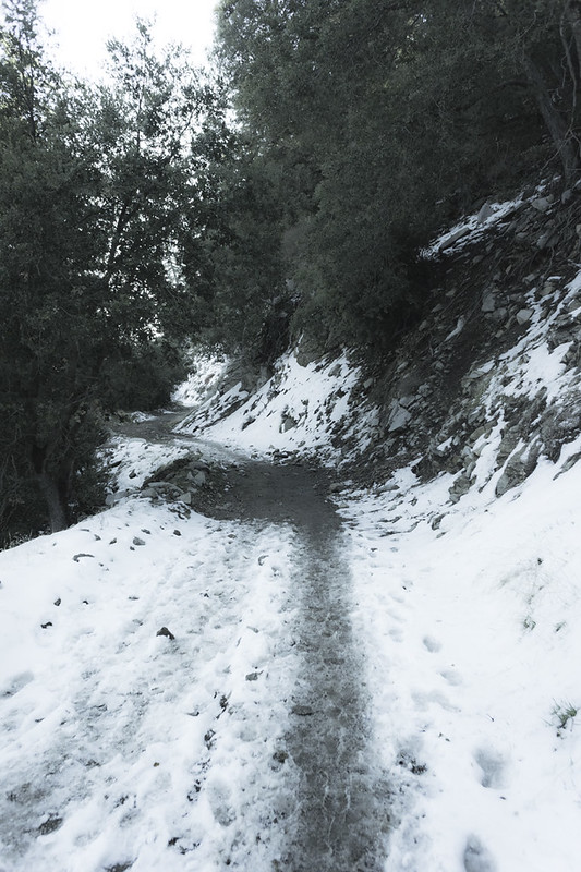
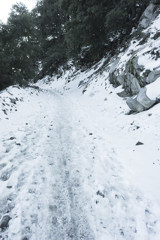
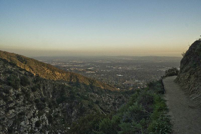
After a half mile or so of switchbacks we were back on the access road crunching through the snow.
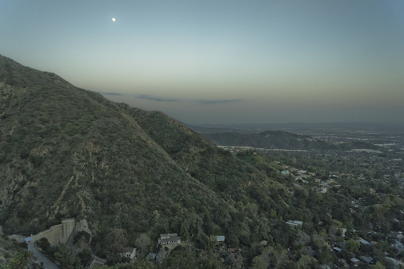
Over to the left was a view of the ridge with Mt. Wilson Observatory. The parking lot is just below the observatory to the left in the photo below, just out of frame. The Observatory sits at an elevation of 5,713 feet.
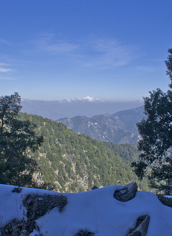
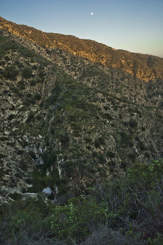
I’m not sure what the snow capped peak over there to the east is, any ideas?
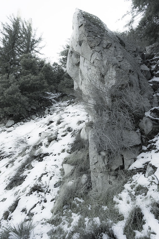
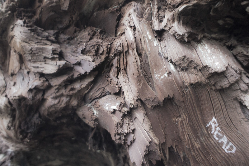
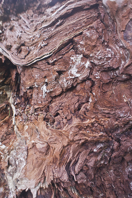
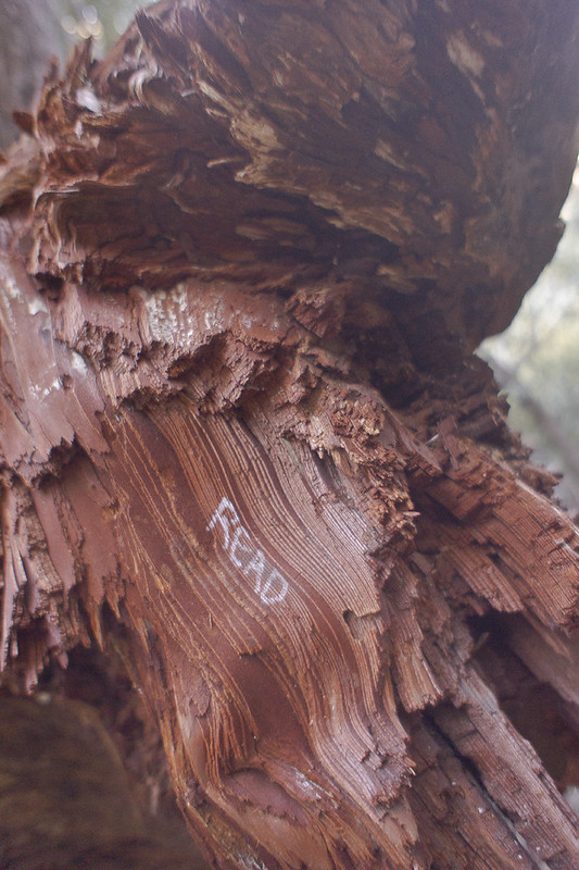
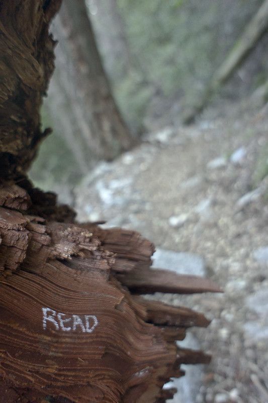
After building the road going through the mountain much of the stone already loosened by tree roots had fallen away, leaving the western hillside replete with hardy trees displaying knotted roots.
After leaving the access road my friend took us on a shortcut straight down the ridge to the wooden bench where I’d had that first pear, 5.5 miles from the bottom.
In the photo below if you follow the trail you can see the bench.
We took a brief rest on the bench. It was 3:30 and had taken us roughly an hour to come down less than two miles from the top. It was just before reaching the bench, coming down the steep shortcut that my knees started to pulse. As we sat on the bench I took an advil, but my knees became worse and worse as we worked down the steepest switchbacks in the wooded trail.
As we continued I was able to see the beauty in our surroundings that I could not notice hunched over on the way up. The forest above three thousand feet turns into a cool damp garden flush with moss that might seem more natural to Oregon or northern California. This has always been my favorite type of forest, impeccably green and glowing with life. Even felled trees were more alluring here than in the lower mediterranean climate found on most hikes in Los Angeles.
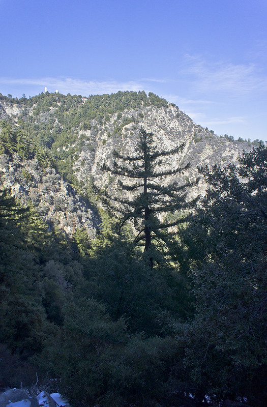
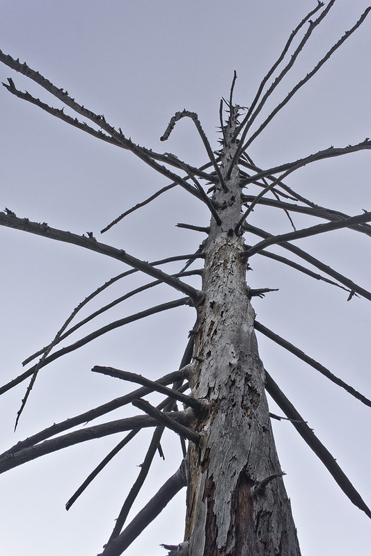
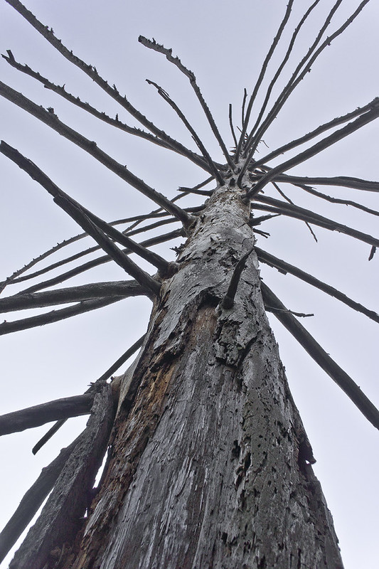
At several points there were dead pine trees that had lost their needles but hadn’t fallen under their own weight. They spiraled up into the sky with jutting arms like some kind of evil spiny organism that feeds on low flying hawks (which were also plentiful).
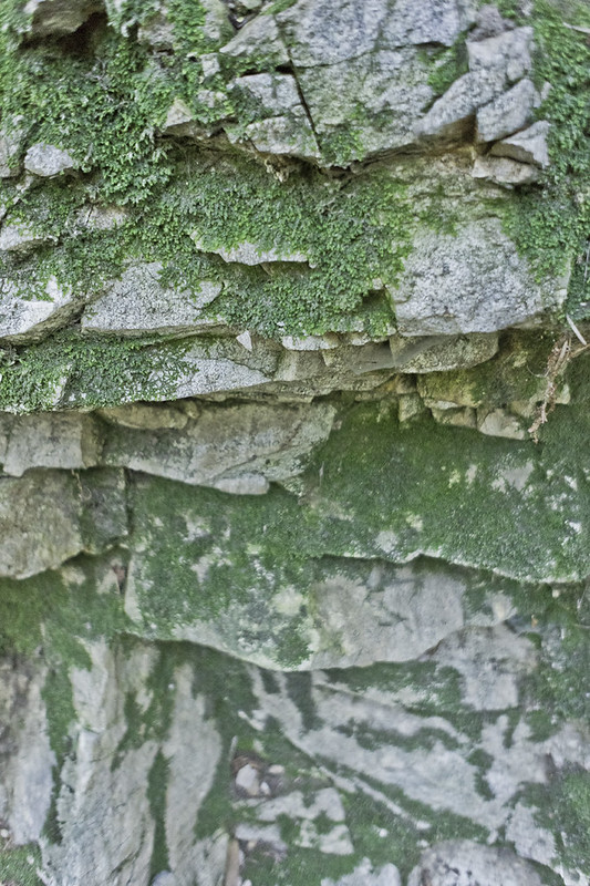
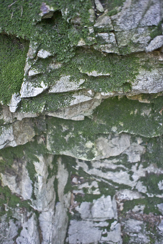
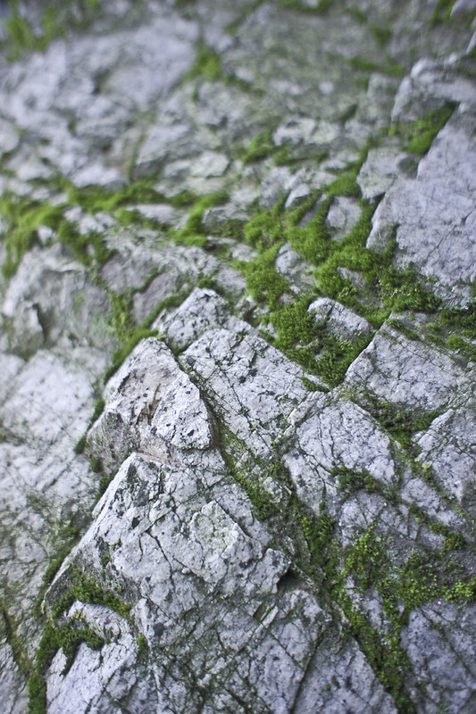
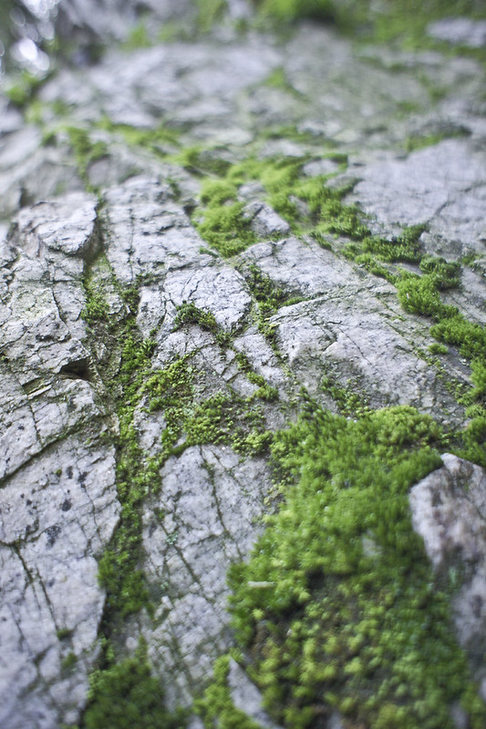
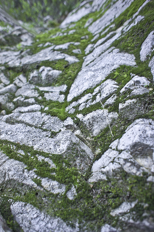
But my favorite thing was the moss covered rocks. I’d like to have a wall in my house that looks like this, wouldn’t you?
I put my camera away to catch up with my friend and his son, who were half a mile ahead of me down the trail. I took it back out again when we passed first water and came out to a canyon sunset. Can you see the little strip of water out there just to the left of center, that’s the Santa Fe Dam Recreation Area. The large white thing on the right is the Santa Anita race track.
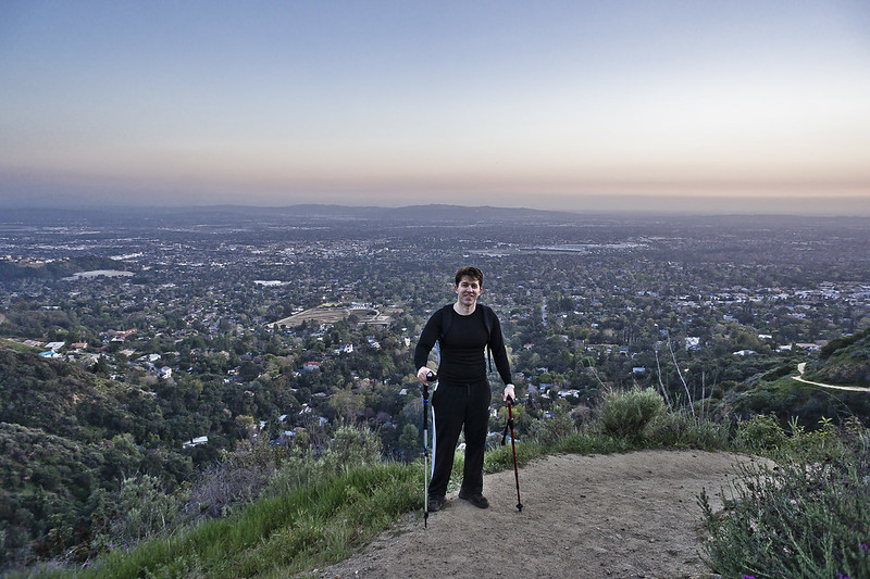
With about a mile left to go my friend offered to snap a picture of me. At this point I was in quite a bit of pain, mostly in my knees. I was relying heavily on the walking sticks, and for the first time in my life felt what it must be like to not have adequate use of your legs. I lamented that I would have done this trip more if I had discovered it earlier in my life. Of course, I’m also wondering why my knees are crapping out on me before I’m even 32 years old. Maybe I need to eat more fish? Maybe I need to just hike more often; Sam and I go months now in between hikes. I probably should have expected a result like this when attempting the most difficult hike of my life after a three month hiatus.
Over my left shoulder you can see Santa Anita park.
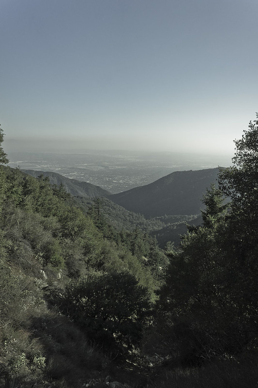
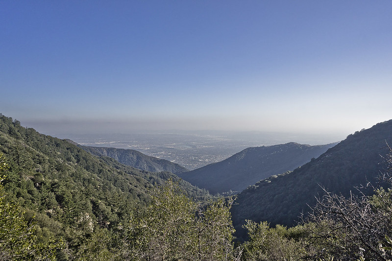
Looking east toward Monrovia.
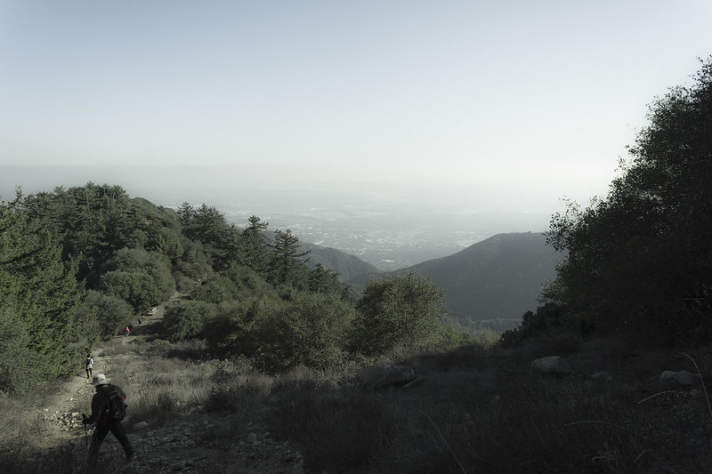
And west toward Los Angeles. If you squint you can see the towers downtown all the way to the right in the haze.
After the hike my friend treated us to an expansive and expensive Korean BBQ all-you-can-eat dinner at Gaon in Pasadena. I can’t remember the last time I ate so much meat, but after hiking for fourteen miles I seemed to have a bottomless stomach and everything tasted that much better. I ate two servings of their mashed potatoes and 1.75 of the potato pancakes in addition to everything else. Maybe it just tasted better because, for the first time since I was a freshman in college, I felt zero guilt for overeating.
The next day, however, my entire body aches and I can barely walk. I’m discovering blisters all over my body and a nice “rug burn” from the straps of my backpack. I can’t raise my arms above my shoulders and I am dreading walking to my car to go to work tomorrow morning, as hobbling around the house is hard enough. The dryness and the grit and abuse my hands took seem to have brought back my eczema and I’m getting friction rashes not just in the usual places, but even on unusual places like the backs of my knees.
But I did it!
14 miles. Almost 6,000 feet.
For you Marietta folks, that’s a longer walk than walking from my parents’ house to WHS. It’s a longer walk than walking from my parents’ house to Marietta college AND BACK. And mom, obviously, it’s farther than walking to MMH and back.
For you Columbus folks, that’s farther than walking from Ohio Stadium to the airport, or from Clintonville to COSI and back.
For you LA people, well, where to begin? It’s about as long as a walk from the Hollywood Bowl to the Santa Monica Pier. It’s a shorter walk than going along the beach from Pepperdine to Pacific Palisades. It’s like walking on the 405 from the 118 to the 101 and then turning around and walking back to the 118… and then turning around and walking all the way back to the 101.
For you NYC people, it’s like walking from JFK to Battery Park, or like walking from Washington Heights to Brooklyn, the long way around.