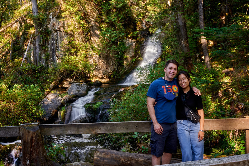
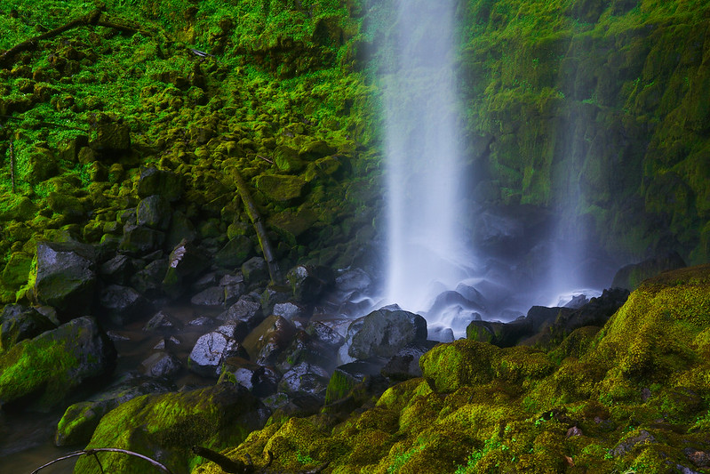
After a waffle breakfast at our hotel we struck out for Skogafoss, one of the more famous waterfalls in the south. It was a big deal because our hotel warned us that we might not want to go anywhere at all because a “heavy storm” (30km/hr winds, sleet, hail and rain) was coming in. We made it to Skogafoss before the real storm hit. Even so, we were all wet by the time we left.
We climbed all the way up to the top of the cliff on the right side of the very tall waterfall and spent a good amount of time just studying it. The falls produced fake looking groupings of snow and ice. I say “fake” as a compliment, it looked like a massive Disney production made of plastic and glass. But this waterfall wasn’t plastic stretched over a steel skeleton, the only steel around was the overlook we were content to stand on. Beneath us were softly cresting drooping mounds of white water in various states dripping down a very steep hill. Next to that, a booming deep blue surge of water so eager to get over the cliff that it forgot to freeze.
Next up was the mysterious downed U.S. Navy plane somewhere on the black sand beach. This was something not on the official tour guide maps and I only had a GPS coordinate to google map before we left America. Since we didn’t get a GPS unit for the car we knew it wouldn’t be easy to find. We just had a map that showed a road a few miles in from the sea, bounded on either side by little streams. Between the streams, somewhere in a ten square mile stretch of black sand and boulders was an airplane.
When we came upon an opening in the roadside fence we passed through it. Nothing marked the site as a place of interest (Note: all places of interest in Iceland use the same symbol on their sign as the command button on a Mac). The only sign was a simple yellow one with two vehicles. A “4×4” and a sedan with a line through it. We took this as our sign the plane was somewhere out there.
It should be noted that the “heavy storm” was in full force by now. We were being pelted by hail and winds stronger than I’ve ever experienced. However, we didn’t come all the way to Iceland to NOT see this damn plane, so we pulled off the road onto the black rocks.
We drove around for a good half hour looking about for the plane. Visibility was limited to perhaps a quarter mile before the hail blotted out everything. All we could see in every direction were black rocks and smooth oblong boulders, each one looking like a piece of airplane fuselage. We drove up to three or four giant distant planes that all turned out to be boulders before we saw some little yellow sticks in the ground.
A path! We followed the sticks, imagining there was no other reason to put up rows of yellow markers than to indicate the way to the plane. And suddenly, after cresting a big black sand dune it was right in front of us.
It was an amazingly bleak picture, but I had to get out and see it for myself, climbing in and out of the plane. If I was wet before I was dowsed now.
Before we left the wicked place we drove all the way down to the water’s edge at Sólheimasandur.
An hour later we were driving to Dyrhólaey. Up on the crest of the cliffs above the beach we were nearly blown into the sea by the terrible wind and rain coming up from the nastiness of the ocean below.
Down at the beach it wasn’t nearly as bad. A good thing too as the scenery was something that felt like another planet.
Sam planned to stay warm and dry, but when I saw the basalt cave (later used in the film Noah after the Great Flood) I ran back to the car to pull her out.
The dark waves of the ocean beat upon black sand before meeting hexagonal black basalt hills.
We didn’t stay long as we were now soaked to the bone, water managing to sneak past every millemeter of our “waterproof” apparel.
We headed back to Vik and found a random restaurant to have, you guessed it, more chicken soup. It’s worth noting that all three times we’d had chicken soup in the last 24 hours it had been sold as the “soup of the day.”


