On Thursday after work I met up with Kent to hike as we usually do. We had chose Griffith Park as the source for our inspiration. We parked at the lot on Fern Dell Drive and proceeded up the road. When we came to the intersection that lead up to the Observatory we headed west up a closed road. We saw the road curve around the side of the mountain and then under the Hollywood sign. We decided to take one of the downhill trails before the Hollywood sign, thinking it would curve back around the bottom and lead us back to Fern Dell. As we descended and talked to other hikers we realized we were wrong – and the trail may not lead back to Fern Dell at all. We began running down the hill as Fern Dell closes at sunset – and we guessed we may have 45 minutes at the most to return.
As we descended (via running) into the lush ravine I spotted a trail turning to the left. We both assumed (hoped) that this trail bent around the mountain and back to our autos. After a few more minutes of running I made a sharp left as I saw another trail that had been drilled through the mountain. We assumed this was a shortcut and we were saved. It turns out what we had found was the infamous Griffith park bat caves or “Bronson caves.”
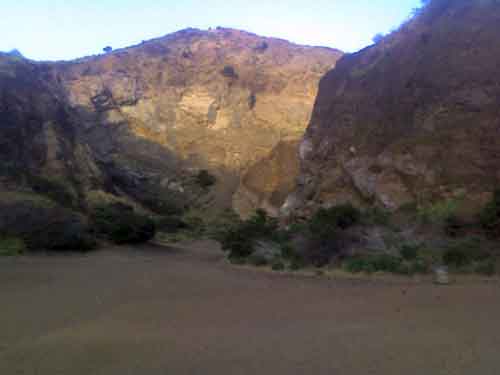
Heading left towards tunnel. In the background you can see the type of cliffs we were climbing later.
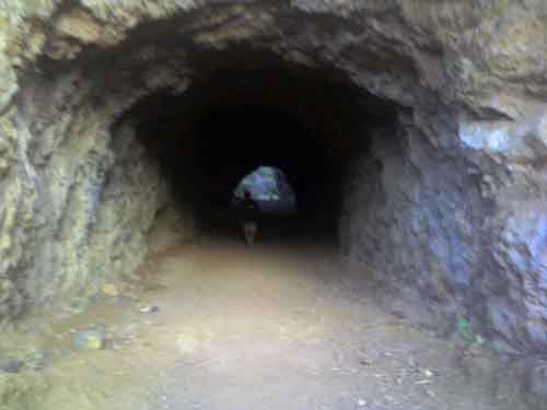
Walking into the “cave.”
After walking through the tunnel we discovered that we were trapped. We looked up and simply saw solid rock on all sides. We knew that we were heading in the direction of our cars though, so I took one look at the cliff face and determined climbing over it was the best route. As we cautiously climbed up the steep walls crows circled overhead and strange (coyote?) sounds echoed. The crows would occasionally set down in front of us and peck at the rocks to cause minor rock slides. Whether they knew this was to our detriment is up for debate.
It should be noted at this point that in the last two weeks there have been two separate (successful) rescues of lost hikers in Griffith Park – one from exactly this spot! Thoughts of this and also tumbling down the cliffs ran through my head as we ascended the cliffs. Once at the top we hesitated. Kent had taken a slightly different route and ended up a few paces ahead of me. From his new view of the last 15 feet he was unsure about the foot/handholds in the wall. The previously rock lined walls turned to earth for the last 15 feet – and the angle was sometimes greater than 90 degrees. After a few minutes of calculations we decided to turn around and climb back down the hill – after all – we still couldn’t even tell what was on the other side of the cliff – perhaps terrain even more dangerous. At first I thought going back down would be even tougher – but I decided to get low to the ground and slide on my ass out of danger – this provided maximum friction (five points on the ground feet, hands and butt – and another two – my back and head if I had to stop myself from sliding out of control). Sliding was a problem going up and down as the rocks in Bronson Caves are constantly falling apart due to their partial sandstone make. At one point on the descent I hit a particularly sandy section and ended up with my feet and hands covered up by the gravel before I could stop sliding. The vertical angles of the cliff face I would estimate range from 50 to 80 degrees on various parts of the hill. Even on the lower “safer” parts of the hill we had done a few double-takes on the way up because of the angle, amount of loose rock and lack of solid objects (tree stumps, weeds, rock) to grab onto.
Eventually though we slid our way out of danger and were no worse for ware except for that our clothing was dirtied up and the sun had already sunk below the crest of yonder hills. We went back from the caves to the original trail and carried on running. After a few minutes we saw another trail curving to the left (east). We took this one as well and found it to be much less perilous than climbing up cliffs – but very overgrown. At many points the weeds rose well above our heads and almost completely obscured the trail. Then, after going maybe 200 yards into the hillside the trail vanished completely. Our spirits broken again we ran back through the brush to the original trail. At the “original” trail we decided to head backwards yet again and go back to the point in the road where we’d originally made the fateful left turn. As we walked along what turned out to be Bronson Street I began calling friends to get park ranger phone numbers. We knew we’d not get lost (Bronson trial is well covered by hikers, runners, dog owners, etc. so we knew we’d eventually come out to a city street), but we didn’t want our cars towed back at Fern Dell where there had been an enormous multitude of warning signs about that very predicament. The one number we managed to get though turned out to be a non-working number.
Along the way we asked a couple how far we were from Fern Dell, the bespectacled chubby man (picture the Simpson’s comic book store guy with Ponce DE-Leon facial hair and glasses) simply chuckled at us and suggested we run out to Franklin and take a cab or a bus to Fern Dell because we were that far away at this point.
We ran.
I think Kent may have wanted to run the entire way – but I had other ideas. I scanned and scanned looking for a good target. Finally – when we’d actually ran outside of the park and were continuing down the residential part of Bronson I saw a Volvo station wagon leaving the park gates behind us. I started to wave the car down – at first the driver thought I was saying “go Lakers” as she had a Lakers flag on the car. She at first kept driving – but looked back and stopped when I my waving was a little more frantic. I recognized the woman as she drove by; we had passed her going up the trail as we were running down about an hour earlier. I quickly explained our situation and thankfully (mercifully) she agreed to drive us to our automobiles. As we drove over we realized just how far we were and how hopeless our situation would have been if we’d just tried running back. It took a good twenty minutes to get to our parking lot.
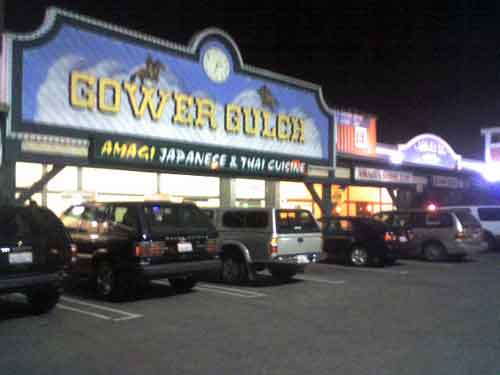
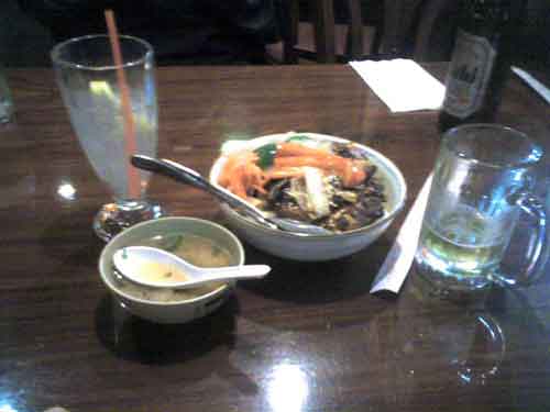
After being dropped off safe and sound we reflected on the events that had just transpired and decided to go eat. Kent tasked me with finding a place to eat even though I’m not familiar with the Hollywood area. I followed Franklin to Gower and turned south. Eventually we came to a strange little shopping center called Gower Gulch with a large “Japanese and Thai Restaurant” called Amagi Sushi. Turns out half the restaurant is a run-down Karaoke bar as well. Kent had the Pad Thai (ordered without peanuts after a few worried looks from me) and I had the Teriyaki Vegetable Bowl which turned out to be quite delicious. We also split two Asahi beers. As we left the Karaoke action had just been started – with one woman up on stage and only the bartender looking on.
I’ve tried to create a rough approximation of our route with Google Maps – but it can’t be exact because much of where we were was through roads and trails that do not allow driving. The basic bits are the same though – point A is the parking lot and point B is where we were picked up just outside of the park. All in all we probably covered about six miles on foot – and it would have been another four or five if we’d tried to hoof it back to our cars.
Ummmm-Asahi. Did they have Singhi?
don’t know…I wasn’t the one ordering…